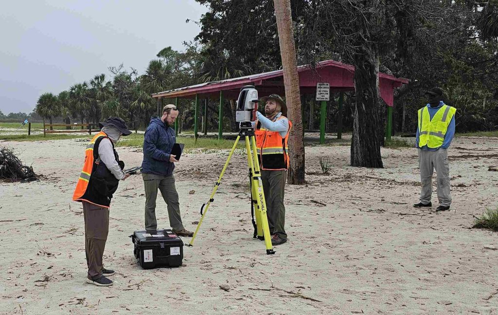
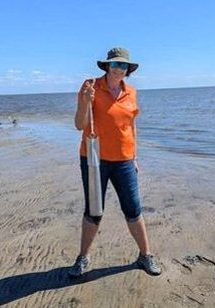
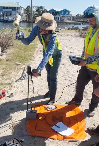
As Hurricanes Helene and Milton bore down on Florida’s coast, a highly coordinated team of researchers, engineers and experts sprang into action, racing against the clock to collect crucial storm data. The Nearshore Extreme Events Reconnaissance (NEER) Association, the Geotechnical Extreme Events Reconnaissance (GEER) network, CCS field staff, and NHERI RAPID facility staff—along with specialists from academia, industry, and federal agencies—joined forces to collect real-time measurements before, during, and after the hurricanes. Their mission: to build a detailed dataset on storm surge, wave action and the destructive forces that drive erosion and material transport along the coastline — critical insights that will shape future resilience strategies.

“It’s rare to have pre-, during and post-storm data,” said Nina Stark, Ph.D., CCS associate director and associate professor in the University of Florida Department of Civil and Coastal Engineering, who co-led this effort. “This detailed and accurate dataset will improve predictions and models for future storm events.”

The day before Hurricane Helene made landfall, the team flew drones to map the aboveground and intertidal landscape, while also deploying 21 wave gauges and water level sensors at more than 15 locations, spanning from Cedar Key to Horseshoe Beach. After Hurricane Helene passed, the team retrieved the equipment and checked the data, before redeploying it in preparation for Hurricane Milton.
By placing instruments at the same locations, plus a few extra sites at Vero and Ponte Vedra Beach, researchers ensured they could make reliable comparisons of conditions before and after the hurricanes. The dataset will include detailed measures of topography, bathymetry, water depths and wave heights, with precision down to inches — and even less in some areas.

Several key factors made this mission a success. The team’s ability to quickly mobilize, their strategic proximity near key areas, and their diverse expertise — from erosion and soil behavior to wave dynamics — were all essential. Funding from a National Science Foundation (NSF) RAPID response grant helped cover personnel travel and equipment transport costs, ensuring a fast response. Additionally, the generosity of Cedar Key and Horseshoe Beach residents, who allowed the installation of sensors on their properties, despite the storm’s challenges, provided invaluable data that deepened the team’s understanding of storm impacts on the coastline.
“Most of this data collection would not have happened without having the community support this,” said Stark. “They were in trouble, and they still gave a lot of help; it was very generous of them to do that. I’m impressed and humbled by how supportive people were of the research.”
Several students also played a key role in the research, gaining more than just technical skills in the process. Among them was Jaq Mueller, a graduate student from the University of Florida’s Department of Civil and Coastal Engineering, who contributed significantly to the project.
“Being involved in hurricane reconnaissance research was a unique and valuable opportunity as a Ph.D. student,” said Mueller, who is a mentee of Stark. “I was able to learn from experts in the field of natural hazards and interact with leading researchers. It made me realize the real-world impacts of the work researchers do every day.”
Stark hopes experiences like these will inspire students to not just improve existing solutions but also spark innovation in creating new ones.
“In the field, students experience the real-world impacts of engineering firsthand,” said Stark. “I hope that in seeing these things happen, they’re not only seeing disaster, but also opportunity and the need for creativity to find good engineering solutions.”
—
By Megan Sam
