Sand may appear simple but small differences in composition, particle shape, wetness and packing play a critical role when predicting how beaches evolve and change, just as such properties control whether a sandcastle will stand strong or collapse.
Nina Stark, Ph.D., associate professor in the Department of Civil and Coastal Engineering at the University of Florida, is part of a multi-institutional team that is investigating how geotechnical properties of sand, that is properties that describe how the sand behaves as a bulk material under loads and stresses, impact sediment erosion and accretion with the goal of improving models for predicting how beaches change and evolve under different environmental conditions.

“We’re using quite a bit of cutting-edge and novel technology for our data collection here right now since only recently have geotechnical measurements gained attention regarding their influence on beach erosion and accretion,” said Stark.
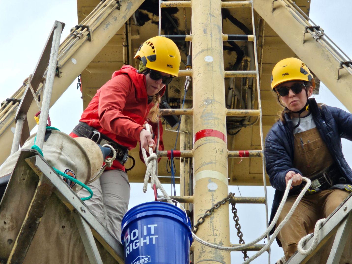
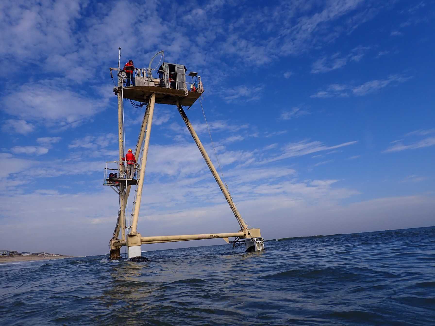
Stark and a team of researchers and students spent two weeks on the Outer Banks, North Carolina taking measurements on the beach to explore the relationships between geotechnical properties of the sand, such as strength and density, and beach dynamics at the U.S. Army Corps of Engineer’s Field Research Facility (USACE FRF) in Duck, North Carolina.

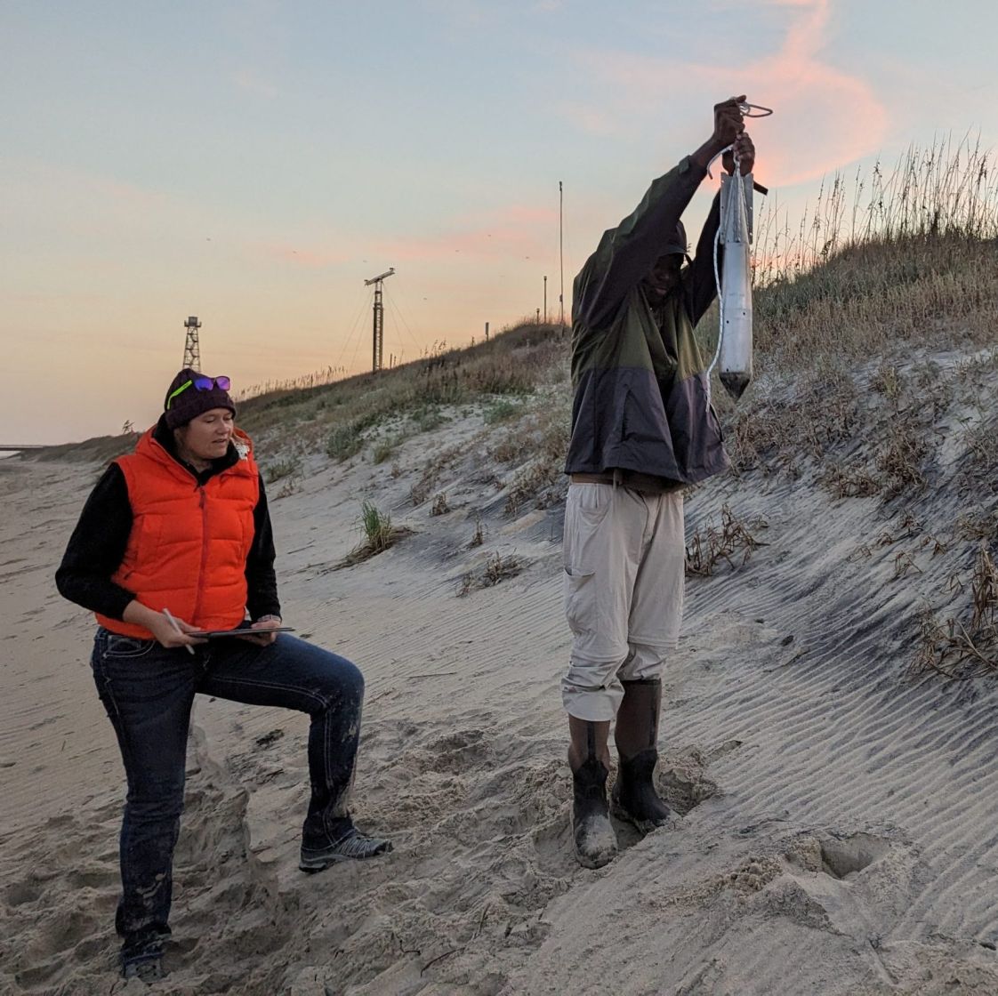
These measurements inform two projects funded by the Office of Naval Research. The first focuses on understanding how geotechnical properties relate to beach evolution. Stark and her team take measurements of how hard or stiff the ground is using seabed penetrometers, devices that are either driven or dropped, and penetrate the seabed or beach surface. This hardness influences how easily the sand moves and how beaches erode. The research site at the FRF offers decades of data measurements stretching back to 1977, providing scientists with a comprehensive archive of how the beach has changed and serving as an optimal test bed to assess and develop coastal models.
“We’re using experimental and well-established penetrometers,” said Stark. “However, we’re being innovative in the way that we are trying to stretch from the dune all the way to a water depth of about eight meters.”
Most geotechnical devices work well when used onshore or further offshore, but less effectively in shallow waters or waves. Stark’s team is working with novel instrumentation that can collect data closer to shore in more dynamic, energetic environments such as breaking waves.

Using satellite images, the goal of the second project is to determine beach trafficability, or how easily vehicles can move across the sand. Leveraging satellite images provides the team with rapid access to high resolution data of miles of coastal environments. By implementing synthetic-aperture radar images, a type of satellite-based sensor that uses radar signals to create high resolution images, the team obtains images of the coast amidst clouds and at night, unrestrained by weather and time of day.
The project team includes researchers from the UF Center for Coastal Solutions, University of Delaware, Villanova University, the U.S. Army Corps of Engineers and Virginia Tech, from diverse backgrounds and with different expertise which generates inclusive and truly transdisciplinary results, notes Stark.
“To actually improve models to inform decisionmakers, stakeholders and communities better, the interdisciplinary perspective and the collaborative work is really essential,” said Stark. “People are positive and excited, and I think that’s the way to collect awesome data.”
—
By Megan Sam
