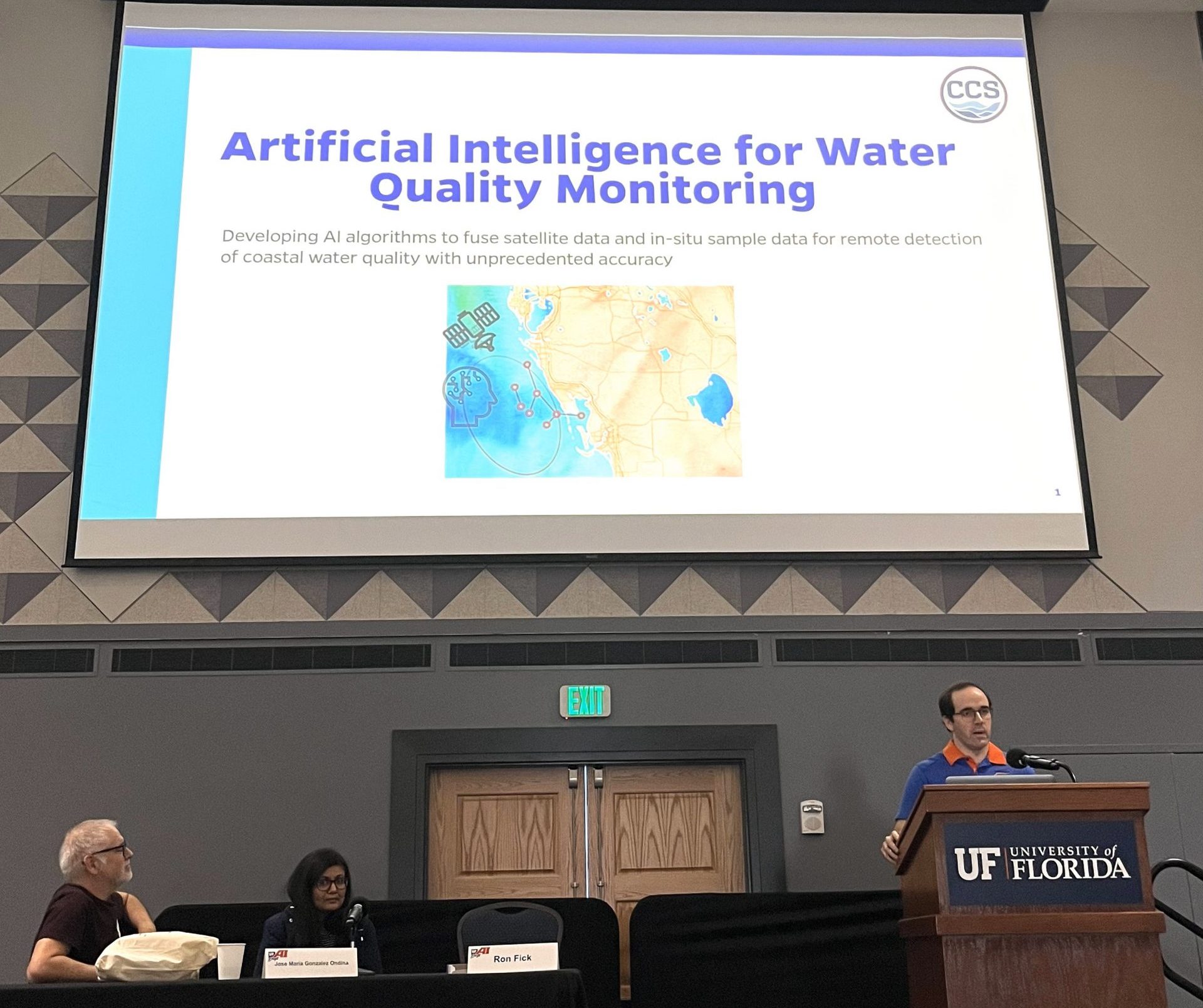
aI-driven red tide detection system
Challenge
Red tide is a harmful algal bloom that causes adverse effects on water quality, ecological communities, public health and economic activity in Florida. Traditional water quality monitoring is often conducted on-site, a process that is both time-consuming and expensive. This approach, which involves collecting samples at specific locations, offers limited spatial coverage, reducing researchers’ ability to fully understand water quality hazards and their interactions with the environment.
Response
CCS researchers developed a novel tool for detecting red tide (Karenia brevis) blooms off the west coast of Florida that addresses the limitations of traditional monitoring by using a customized AI algorithm that combines in-situ samples with satellite data to generate highly detailed maps of red tide. The red tide detection model, which outperforms existing remote detection methods found in the literature and applied in practice, integrates real-time satellite images with recent in-situ data, allowing scientists to reconstruct historical events and better understand the causes, development and dissipation of harmful algal blooms.
As the accuracy of these algorithms improves, they will enable higher-quality forecasts of future red tide and other harmful blooms. The model can be operationalized to support more efficient monitoring and mitigation of future blooms, more accurate communication about their spatial extent and distribution, and a deeper scientific understanding of bloom dynamics, transport, drivers and impacts in the region.
Funding
This tool was developed through funding from the Florida Department of Environmental Protection, an NSF Career Award to Christine Angelini, and philanthropic support to the CCS.
Tool Developers


Publications