Challenge
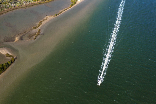
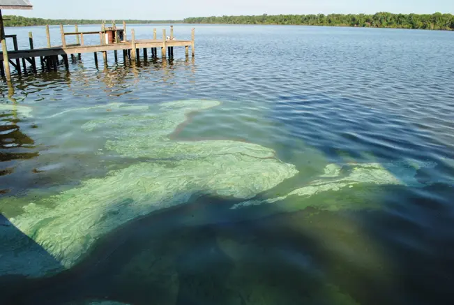
The Peace River Basin (PRB) is a 2,300 square mile watershed that drains lands in west central Florida into the Charlotte Harbor Estuary (CHE) near Punta Gorda, located in Southwest Florida approximately 100 miles south of Tampa. This region has a rapidly growing population, increasing nitrogen levels, ecosystems showing signs of stress, and is subject to hurricanes and frequent red tide events. To identify strategies to improve water quality and economic resilience, regional stakeholders and decision makers need to know what the threats are, where they come from, and how they are changing the environment and economy.
Response
CCS developed advanced analytics to identify water quality drivers, AI algorithms to monitor waters with unprecedented resolution, predictive models for water quality from watershed to sea, and processed new field data to fill critical gaps. Our project partner, the UF IFAS Economic Impact Analysis Program (EIAP), assessed red tide effects on economic activity. Along with our partner the Center for Public Interest Communications (CPIC), we conducted interviews to identify key users of project outputs, inform Scenario Analyses to explore interventions to improve water quality, and design effective means of communication and engagement when sharing project outputs.
Funding
This project was funded by the Florida Department of Environmental Protection.
Impacts
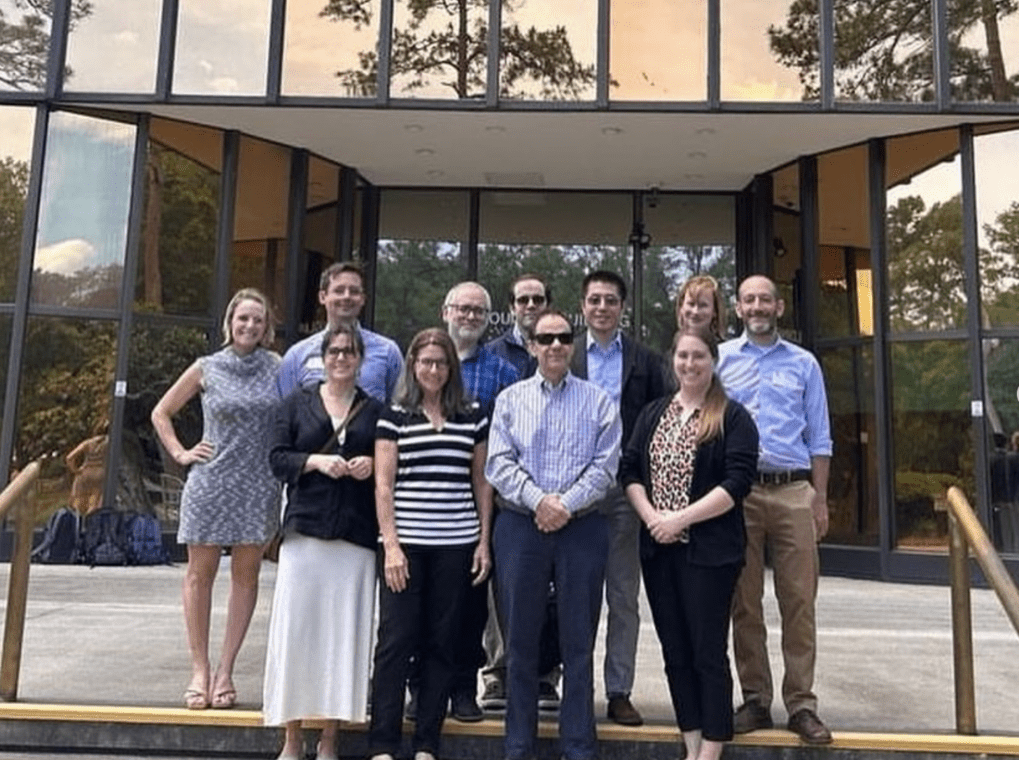
Team Leads


Research Collaborators


Publications and Reports
A hierarchical spatial transformer for massive point samples in continuous space