
Facing one of the fastest rates of sea level rise acceleration in the country, the city of Cedar Key is working with the University of Florida to plan for climate change-related risks. A new web app developed by the Florida Institute for Built Environmental Resilience (FIBER) is helping the city visualize the future and map out flood risks and vulnerability to sea level rise, storms and tide events, as well as develop strategies for mitigation and resilience.
“We found this tool helpful to communicate these different risks that the community faces,” said Andrea Galinski, assistant professor in the Department of Landscape Architecture and one of 11 researchers showcasing innovative technologies at the Optimizing Solutions for Resilient Coasts summit, hosted by CCS on December 1. “They just went through Idalia. People are very well aware of the impact of storms.”
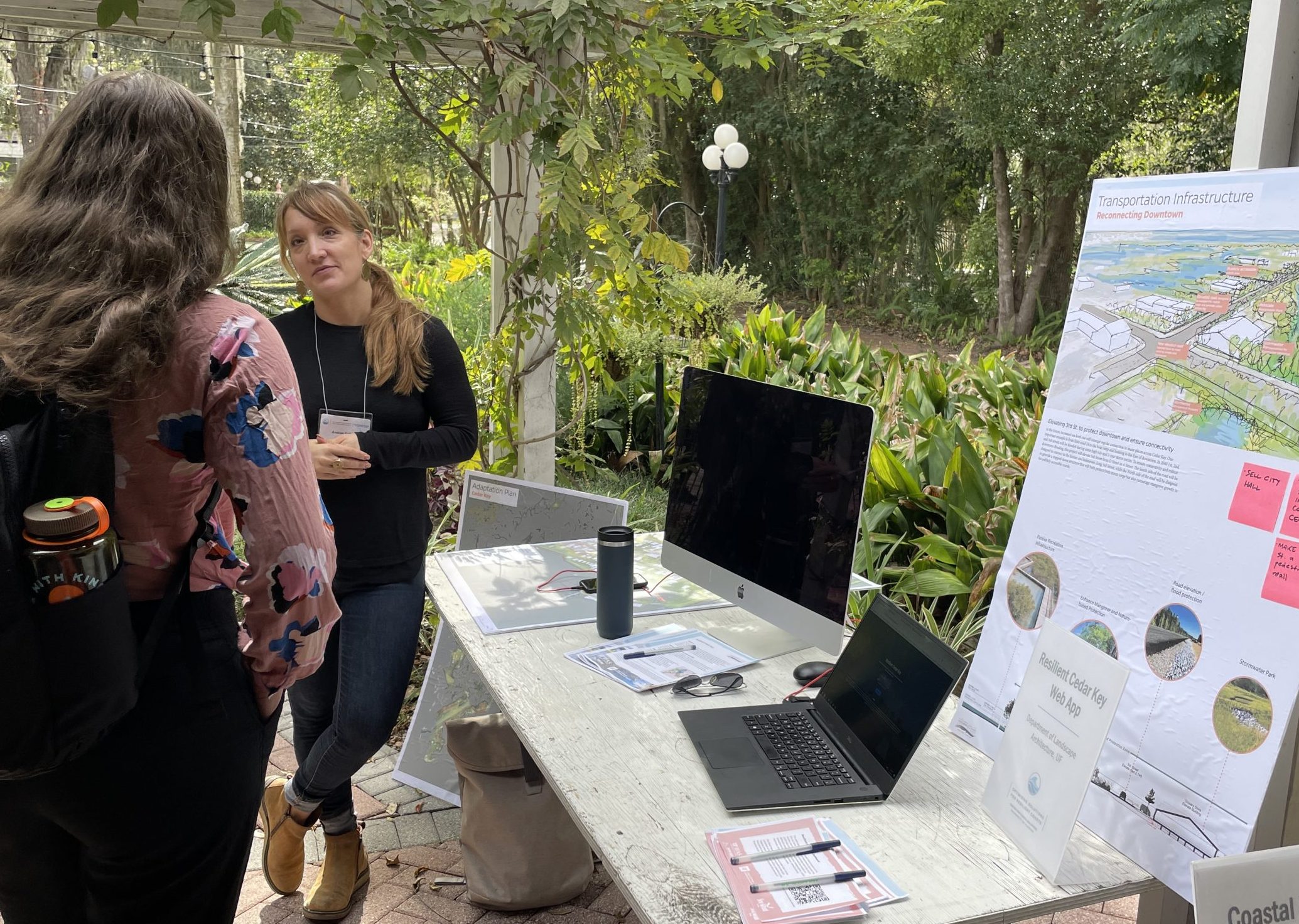
The web app provides risk assessments for scenarios of sea level rise, storms and tide events, ranging from typical high tide levels to the extreme case of a category five hurricane. It also evaluates flood vulnerability across categories that include housing, transportation, critical infrastructure, natural and cultural resources and the local economy. App users can explore a range of flood risks from current day to 2040 and 2070.
The FIBER team used the app to create a flooding vulnerability map to help Cedar Key residents prepare for when these events occur. The maps were used to identify four priority adaptation projects that employ strategies such as elevating 3rd Street to improve connectivity in the downtown area, and redeveloping businesses and homes across incomes on higher ground near Cedar Key’s newly relocated City Hall. In mid Cedar Key where there are lower areas particularly vulnerable to flooding, there is the potential to install a bridge to facilitate water flow during extreme high tides. On the west side of town, proposed projects would focus on increasing awareness about adaptation activities that individual property owners can take, such as how to enhance the adjacent shoreline with salt-tolerant plants.
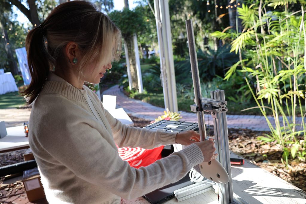
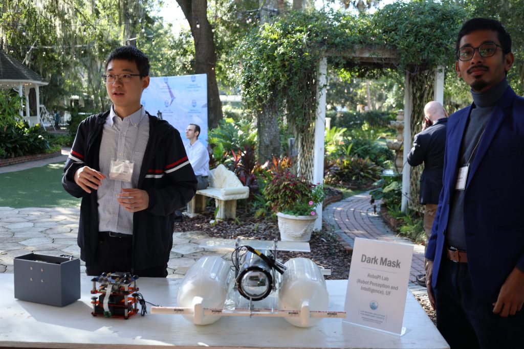
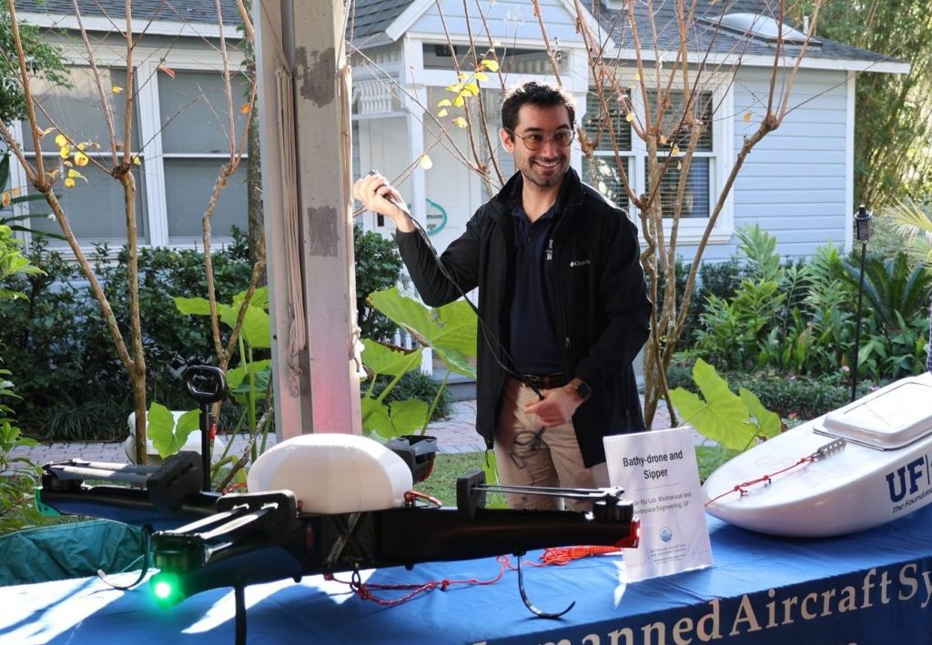
Other technologies on display during the summit included a drone that can carry three million clams and disperse seeds across an acre in 15 minutes, a robotic trout and the “Sipper,” a drone-based method for collecting samples used in harmful algal bloom detection.
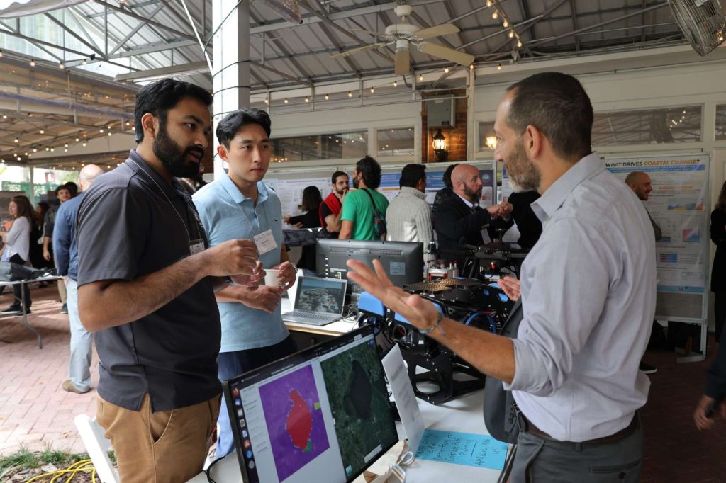
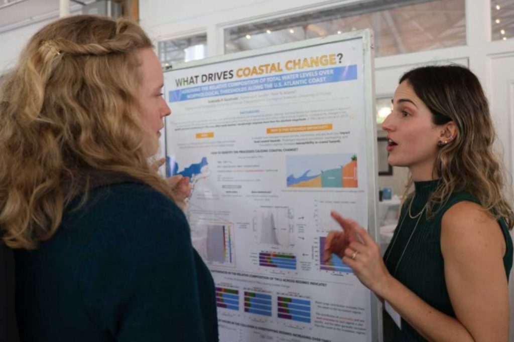
In addition to the technology demos, 29 students from across UF presented their research projects during a poster session at the summit. From impacts of offshore wind energy development on the Gulf of Mexico’s biodiversity, shared by undergraduate student Isaac Coleman studies, to the role of dry and rainy seasons and floods on PFAS, or “forever chemicals” in the Indian River Lagoon, presented by Ph.D. student Sanneri Santiago, these young researchers showed how they are uncovering new knowledge and driving innovation everyday.

The showcased technology and research represent a glimpse of the ongoing initiatives at the University of Florida to help coastal communities like Cedar Key build a more resilient future. These efforts continue to evolve and hold promise for scaling up.
“Down the road, I could see enhancing the visualization capacity of this project,” said Galinski. “That’s one of the exciting things that digital twins [discussed at today’s CCS summit] can be used for, is how you let people understand what it feels like to be walking down a sidewalk and to have green buffers, not just lines on a map. We want to grow our visualization capabilities in the future with these types of projects.”
If you’d like to check out the Resilient Cedar Key web app, you can visit: https://resilientcedarkey.web.app/
—
By Megan Sam