
land conservation optimization tool
New tool identifies and prioritizes benefits of land conservation decisions for optimal return on investment.
Challenge
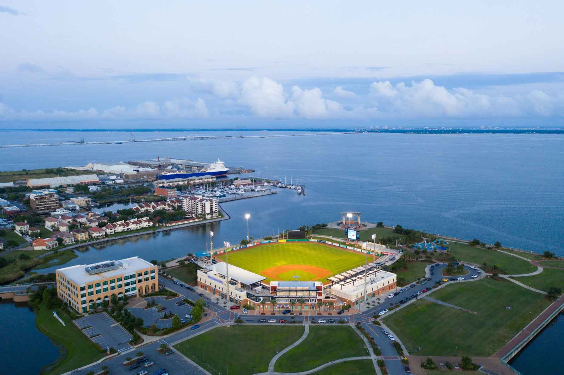
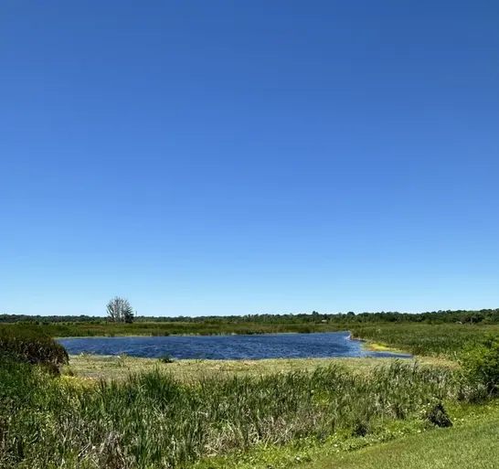
Florida lands provide critical natural habitat for plants and wildlife, water quality, and protection from storms. Population growth and conversion of land is stripping the state of these valuable resources and ecological services. Targeted conservation projects can help preserve those lands that deliver the greatest environmental benefits.
Response
Researchers from CCS and the UF Center for Landscape Conservation Planning developed a tool that uses data analytics to identify and prioritize land conservation opportunities driven by community priorities. The tool integrates user identified priorities (habitat, water quality, water storage, etc.) and identifies key lands to conserve in order to best achieve those priorities. It then incorporates existing conservation models, such as Florida Forever and Florida Wildlife Corridor, to provide users with a prioritized list of parcels, potential funding matches, and a summary report for a targeted and science-based conservation project.
Funding
This tool was developed as part of the Northwest Florida Water Quality Assessment and Infrastructure Improvement Project, funded by the state of Florida, and in collaboration with the UF Center for Landscape Conservation Planning.
Impacts
Tool Developers


Learn more about how our decision support tools can help you
Contact Tricia Kyzar, Ph.D., researcher and project manager, at tkyzar@ufl.edu.