By Holly Sproule
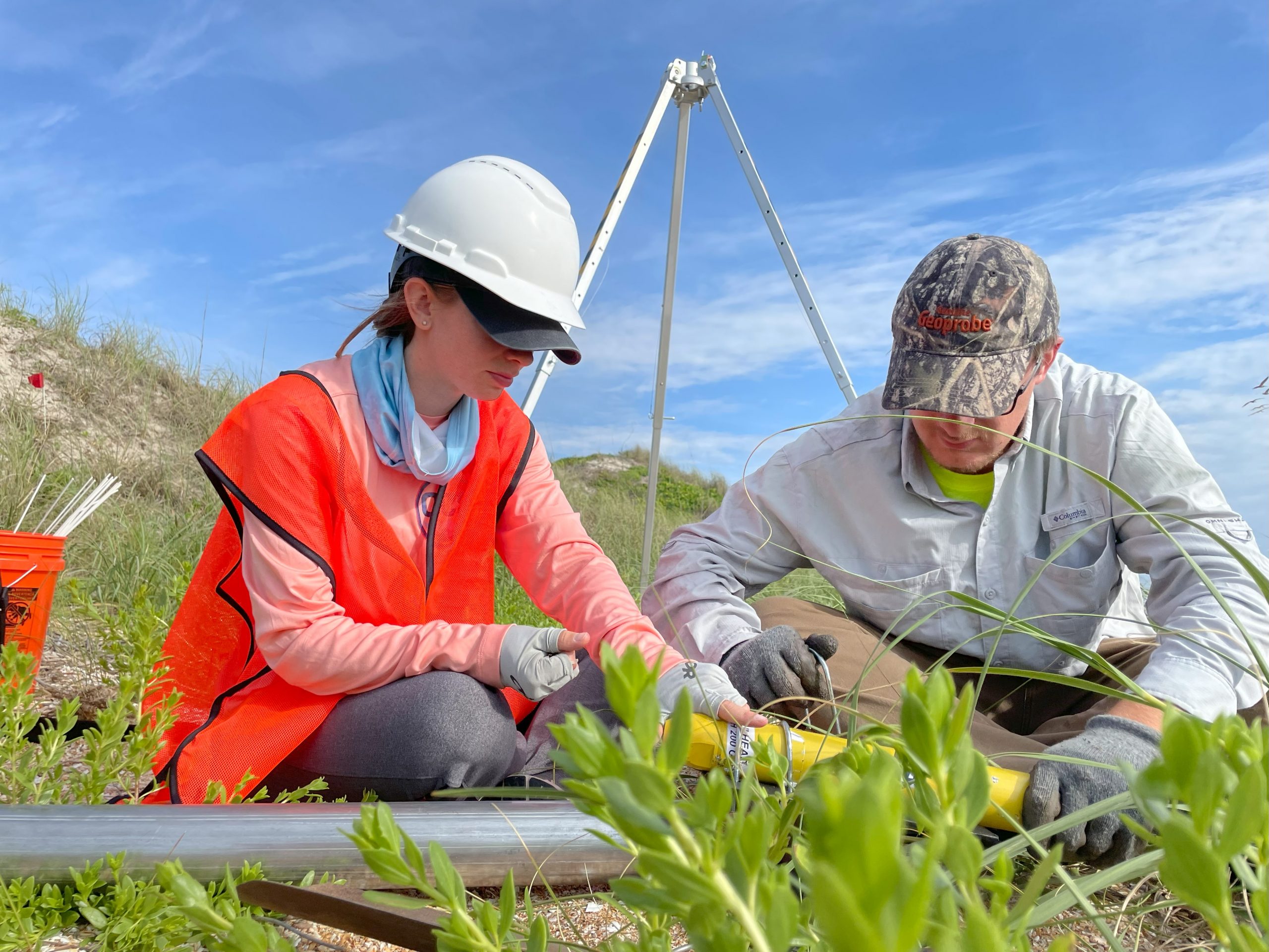
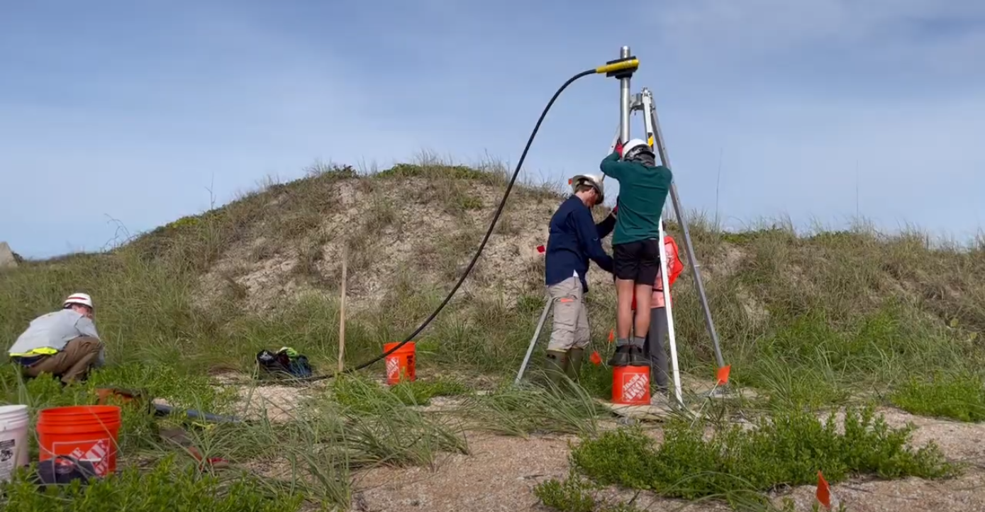
In June, a team of scientists and researchers from the University of Florida Center for Coastal Solutions (CCS), the U.S. Army Engineer Research and Development Center (ERDC), Villanova University and the University of North Carolina Wilmington traveled to St. Augustine, Florida, to survey eroding shorelines and develop new models to aid in their protection.
“We were thrilled for the opportunity to partner with UF,” said Justin Shawler, Ph.D., research physical scientist at ERDC. “The collaboration and field work would not be possible without the dedication and skills of CCS’s students, technicians and faculty. The UF team brought extensive knowledge of the local ecosystems and dune ecology, while ERDC brought specialized knowledge on geological and geotechnical sampling in coastal environments.
“Both teams have skillsets and tools for coastal mapping and remote sensing, leading to synergy and knowledge sharing between the partners for that aspect of the survey effort.”
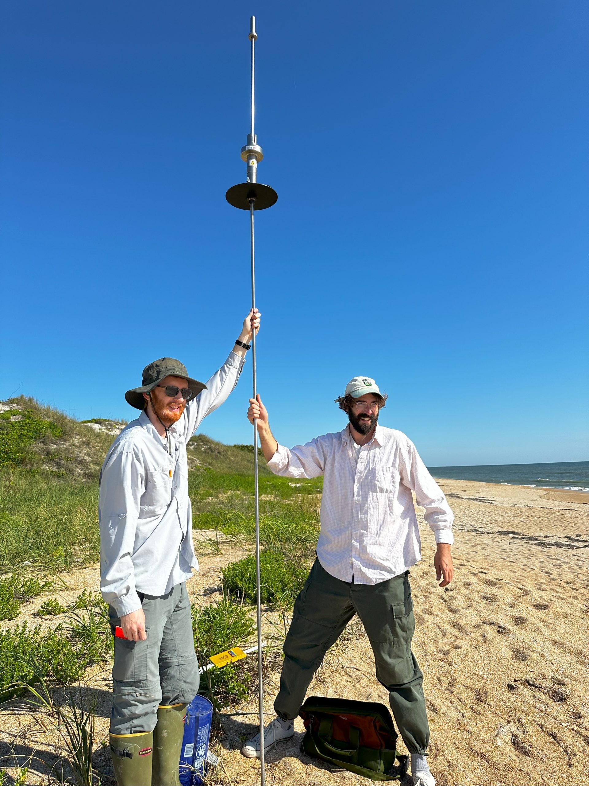
Using traditional field methods, drone technology and a variety of other tools, the team collected data from five sites around St. Augustine to evaluate dune stability. Each site has either previously received restoration or is protected in a reserve area. The team determined how restored sites differ from unrestored areas and what they can do to improve the latter.
Informed by their new data, researchers at CCS and ERDC are updating existing dune erosion models to better understand storm impacts and aid in future dune restoration efforts. By better understanding the role of native species and sand properties, researchers can build site-specific erosion models and improve dune restoration designs, according to Hallie Fischman, a doctoral candidate at CCS.
“While we know dune vegetation is important in stabilizing dunes, it is infrequently incorporated into models,” said Fischman. “This work will both improve our general understanding of dune functioning in the region and inform models that can be applied at a larger spatial scale.”