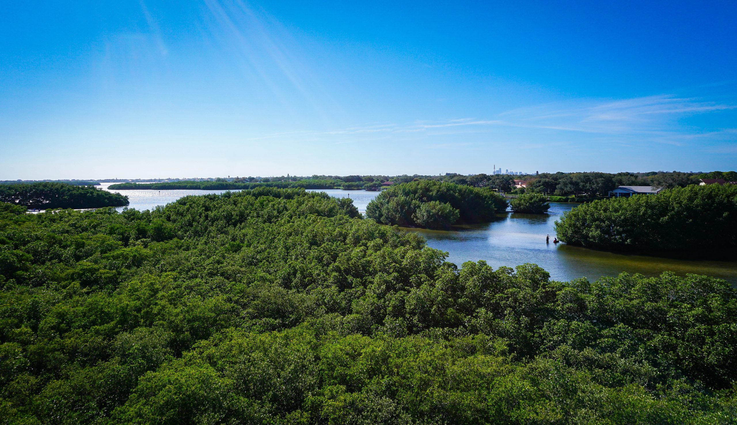
Estuaries are a defining feature of Florida’s coasts. These bodies of water are found where freshwater from rivers and streams meets and mixes with salt water from the ocean. Often called the “nurseries of the sea,” they provide habitat and clean water for humans and wildlife. To understand how these coastal zones are responding to sea level rise and other threats, scientists at the Center for Coastal Solutions (CCS) are using the Regional Ocean Modeling System (ROMS) and other enhanced ocean and estuary modeling tools to identify water quality changes and drivers in estuaries, as well as predict red tide and other coastal water quality hazards.
“We need robust ocean circulation models to study estuarine health and vulnerability to sea level rise and storms,” said Jose Gonzalez Ondina, Ph.D., a research assistant scientist at CCS. “These models are vital for local and statewide planning and will help all types of organizations that are stakeholders in the coast, like counties, municipalities, city and regional planners.”

Ocean circulation models, like ROMS, are three dimensional representations of how fluids move, such as currents in the ocean. CCS scientists use these models to forecast temperature, salinity, currents and water levels, and to simulate how pollution and nutrients move or stay in an area.
The CCS team capitalizes on UF’s HiPerGator, one of the fastest university-owned supercomputers on the planet, to run the model much faster, performing hundreds or even thousands of tasks simultaneously to optimize model performance. This enhanced efficiency can translate to more effective management strategies to safeguard “nurseries of the sea.”
These models can be used to address different issues. For example, a watershed-estuary model can be applied to accurately predict and manage water quality issues like red tide by giving a detailed understanding of where nutrients originate, when and how long they accumulate in an area and how fast they are washed away in the ocean. This helps researchers predict which areas will be more likely to experience these water quality issues.
Researchers applied a watershed-estuary model to better understand water quality issues in Charlotte Harbor Estuary, the second largest estuary in Florida and considered one of the most productive in the state. Data on land use and pollution sources was input into the model to simulate watershed flows and connected processes occurring in the Peace River watershed to changes in water quality in the estuary.
CCS researchers also used the model to produce a database that included 10 years of past simulations and forecasts and used these to analyze future climate and other scenarios affecting water quality, such as incidences of red tide coming from offshore, the potential impacts of land use decisions, and environmental improvements from septic to sewer projects.
The combination of ever more sophisticated models and supercomputing power is giving researchers the ability to obtain reanalysis data, which merges past forecasts with current models to gain a complete picture of historical weather and climate, and project future scenarios in novel ways that better inform decisions for effective water management.